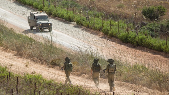
The farms produce wheat, fruit and vegetables, and are a strategic point in the unstable region.
Hezbollah has used the presence of Israeli troops in the area to justify continued attacks after the Jewish state withdrew from south Lebanon in May 2000.
In the summer of 2006, the capture by Hezbollah of two Israeli soldiers sparked a major conflict between the two sides.
The last attack near the farms was in March, when a bomb exploded as an Israeli armoured vehicle drove past.
Stretching from 400 metres (yards) to 2,000 metres in altitude, the area lies on the southeastern flank of Mount Hermon.
Israel maintains that the sector is part of the Golan Heights, which it captured from Syria in 1967 and annexed in 1981.
Lebanon also claims sovereignty over the area.
The border between the two countries was set by the United Nations after the Israeli withdrawal from southern Lebanon after 22 years of occupation.
Israel has detained Lebanese civilians, often shepherds, in the disputed region, but normally questions them and then hands them over to UN forces mandated to monitor the area.
The exact border was never clearly established, however, because the British and French colonial powers did not decide in 1923 precisely where they felt Lebanon, Palestine and Syria intersected.
Syria took advantage of the oversight to extend its domination over the area in 1957, and held it for 10 years.
In 2000, the UN concluded that the Shebaa Farms were Syrian, but Lebanon has since asked the global body to reexamine the issue.
---------------------------------------------------------------------------------------------------------------------


 Home
Home Politics


